Why do the 4-Pass Loop when you can do the “5-Pass Loop,” otherwise known as the Capitol Creek Circuit. We had planned to complete the 4-Pass Loop in the Maroon Bells-Snowmass Wilderness along with every other backpacker visiting Aspen, when a bit of research quickly changed our mind.
Comparison of the 4-Pass Loop & CCC:
| 4-Pass Loop | Capitol Creek Circuit | |
| Popularity | Most popular in Colorado | Very little use |
| Distance | 26 miles (3 nights) | 43 miles (3 – 4 nights) |
| Elevation Gain | 7,800 ft | 14,700 ft |
If you enjoy solitude and are up for a challenge, the CCC is for you. We completed it in 3 nights, however a 4th night would have allowed us a bit less mileage on day 4.
Know Before you Go
- A self-issued permit is required to backpack in the Maroon-Bells Snowmass Wilderness. They are located at trail heads. At this time (July 2022), there is no fee associated with permits.
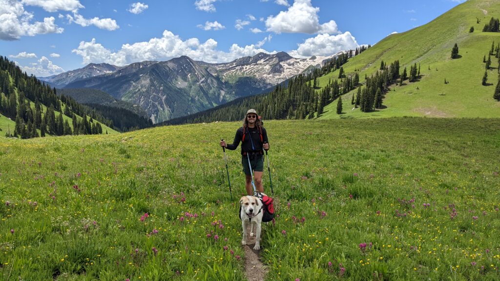
- Dogs are allowed in the wilderness, but required to be on leash the entire time. For our safety, we had to unleash Ute when crossing snowfields, but other than that, she was clipped to our backpack hipbelt.
- Bear canisters are required to be used. Know how to use a bear canister BEFORE heading out. Never stash your bear canister where it could roll off a cliff, into water, or anywhere else where retrieving it would be difficult.
- Pack out all trash (including toilet paper!!!!!) and either use WAG bags or know how to properly dig a cat hole. This is so important. We saw so much toilet paper around Snowmass Lake – it was super unfortunate.
- A GPS is really important – or a good map and a compass. We use Gaia for our adventures and are able to download offline maps, input GPS coordinates and waypoints, and map our whole route prior to hitting the trail. Would highly recommend.
- This was our first backpacking route using trekking poles and we definitely needed them. The snowfields and creek crossings alone were enough to have them with us.
- More information can be found on the Maroon Bells-Snowmass Wilderness Page
Our Route
North Lost Trail – Arkansas Mountain Trail – Avalanche / Silver Creek Trail – Capitol Creek Trail – West Snowmass Creek – Maroon Snowmass Trail – Geneva Lake Trail for a total of 43 miles and 14,700 ft of elevation gain. PHEW.
Check out our route on Gaia.
Day 1
North Lost Trail – Arkansas Mountain Trail – Avalanche / Silver Creek Trail
We chose to start in Marble, CO at the North Lost Trailhead. To get there, you need a high clearance, AWD/4WD vehicle. This trailhead made sense for us because we did not want to battle traffic or parking permits in Aspen and we have a 4WD Syncro!
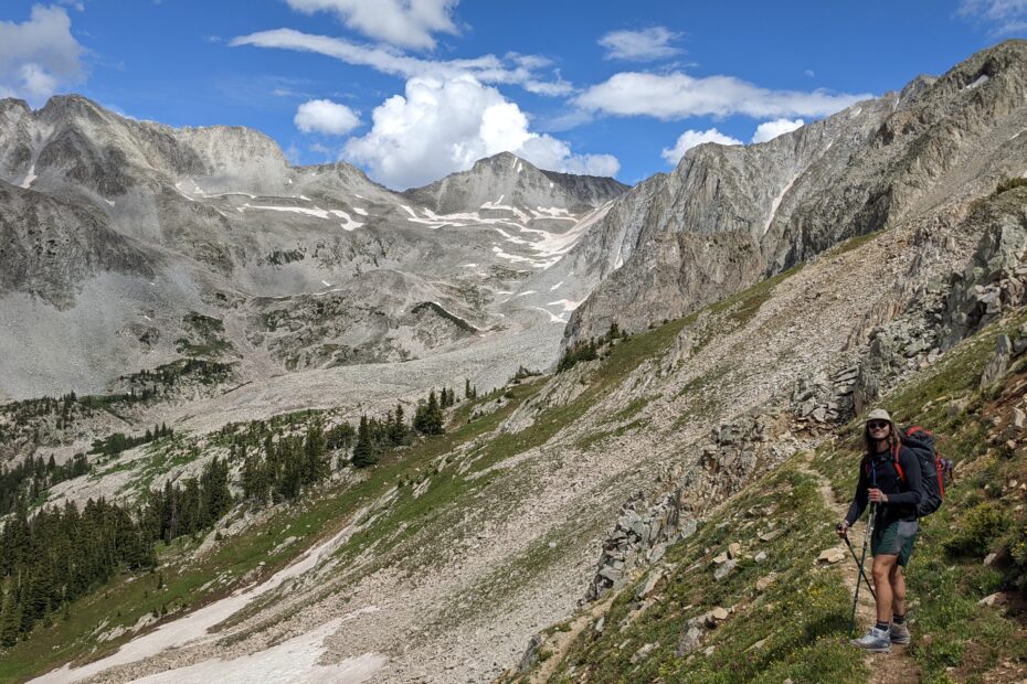
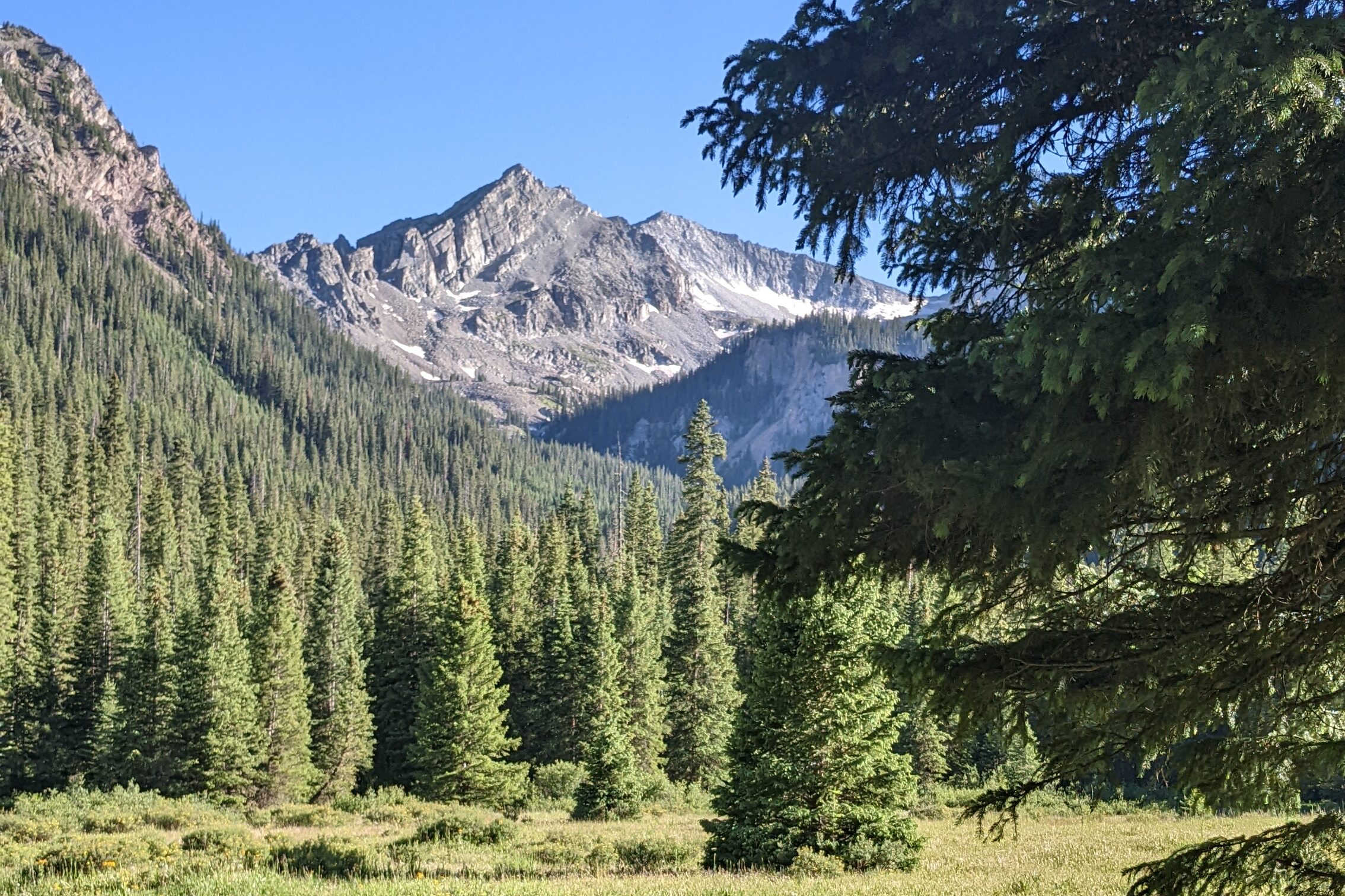
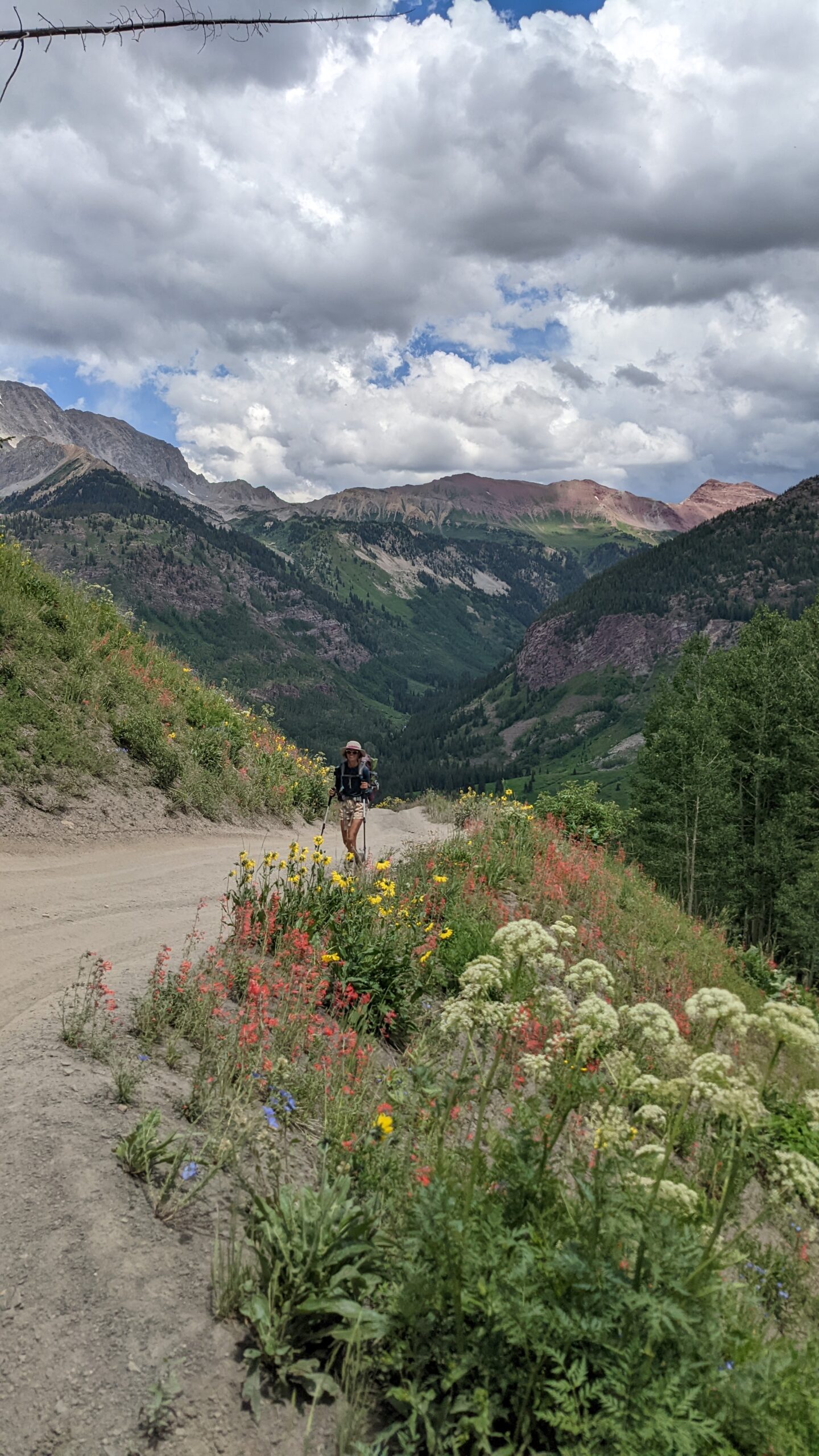
The North Lost Trail was the worst part of our route. It’s not maintained well, if at all, and the pace is about 1.5 miles per hour due to elevation and scrambling over fallen trees. There were 2 high creek crossings so our feet were soaked within the first 1.5 miles of the trail. Luckily, it was a warm day, but if I did it again, I would switch into my Tevas when crossing to save myself from soggy feet. Once off of North Lost Trail, things were MUCH improved. In fact, day 1 was the best day of views. From Arkansas Mountain Pass, the basin below is just gorgeous.
We slept at Avalanche Lake which we would HIGHLY recommend. It was pristine and there was only one other group there who showed up late in the evening – we did not even cross paths.
Day 2
Avalanche / Silver Creek Trail – Capitol Creek Trail – West Snowmass Creek
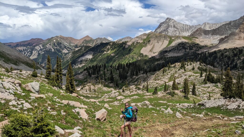
Day 2 is a doozy – 2 passes to climb and a lot of elevation in between. We had no chance of thunderstorms (rare for July!) so we were able to take our sweet time. If there are storms in the forecast, you would have to potentially wait them out before climbing Haystack Pass. Capitol Lake is really incredible! The first half of the day is pretty amazing. The second half, including Haystack Pass, was not as breathtaking, although it might have been because we were feeling exhausted from the previous day and a half.
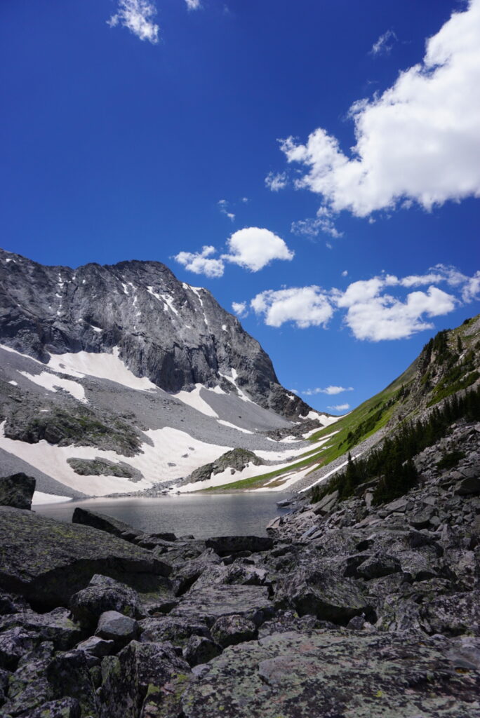
A fun surprise: snowfield crossing along Capitol Lake Basin. If you’re not used to crossing snowfields (🙋 AZ natives over here), something to know ahead of time. There was one noteable sketchier snowfield. Mitch went first creating “stairs” for me digging his feet in and using his trekking poles for stability. Trekking poles really came in handy on this trail.
We chose to camp in the woods here: 39.18621, -107.04151. There was a creek for water access nearby and great views of the surrounding mountains. Day 3 was going to be our easiest, so we didn’t feel like we had to push further to camp.
Day 3
West Snowmass Creek – Maroon Snowmass Trail
Day 3 was our “chill” day. We got up early and began to head towards Snowmass Lake, our camping destination for the night.
The biggest surprise was a river crossing between West Snowmass Creek Trail and Maroon Snowmass Trail. The river was running fairly high – high enough that another group of backpackers was debating crossing. We changed into our tevas and and managed to cross using our trekking poles to dig in and facing upstream while crossing.
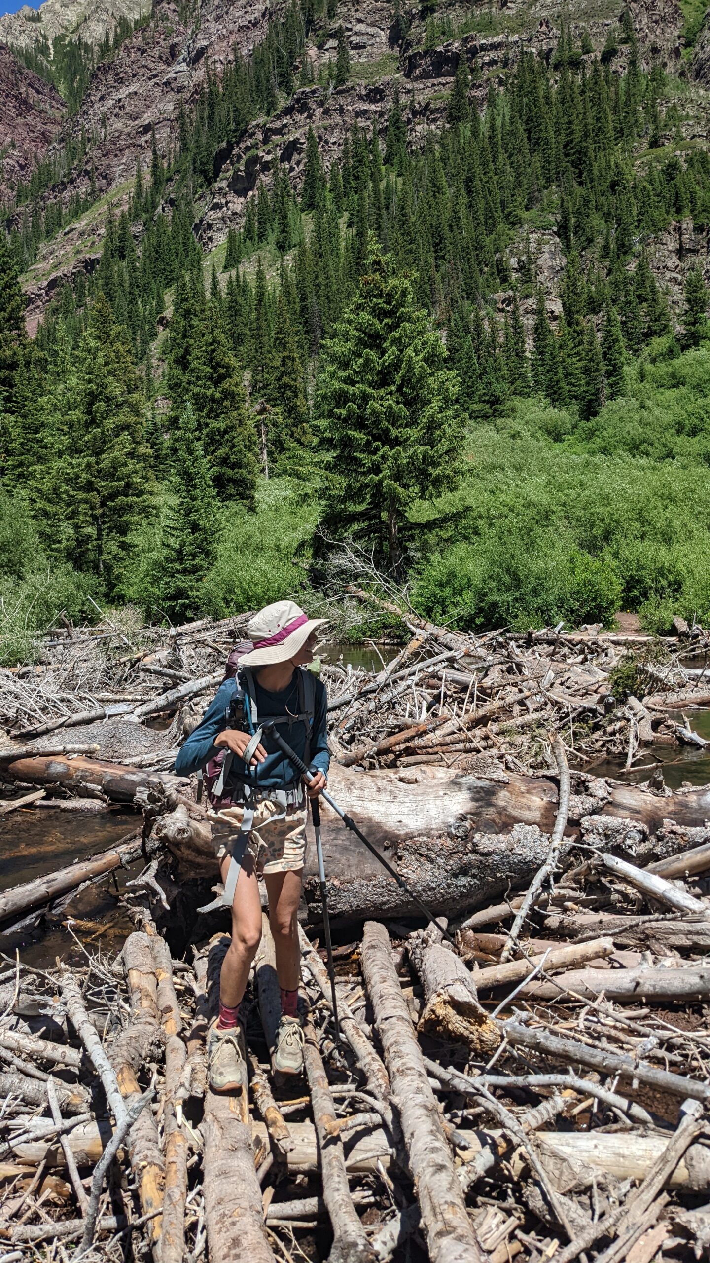
The other surprise – a huge log jam to walk across. We watched other hikers miss this path, so make sure you follow your GPS! The Maroon Snowmass Trail was nice, but was not as gorgeous as I had expected. It really didn’t get beautiful until we climbed above tree level.
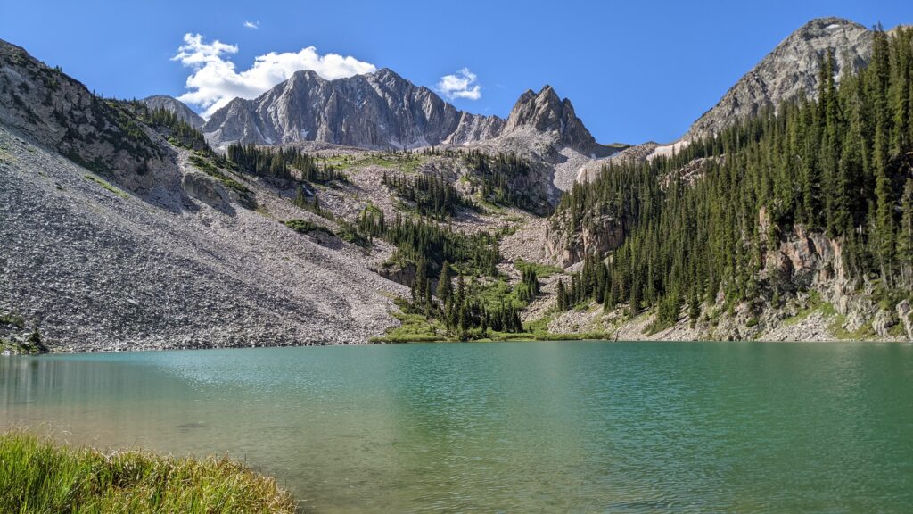
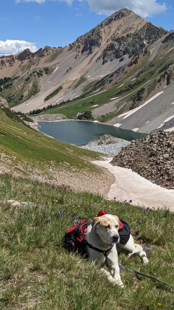
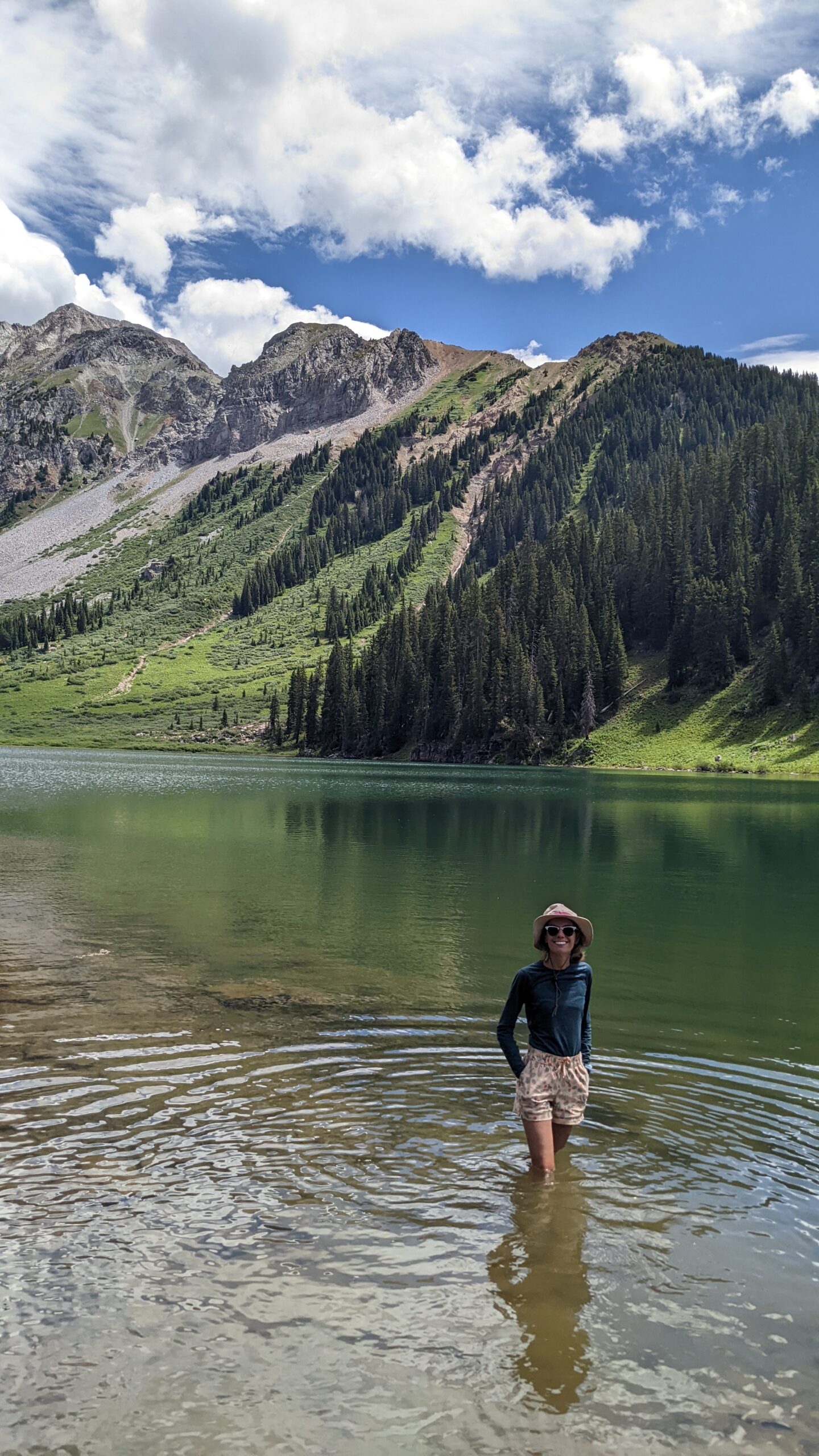
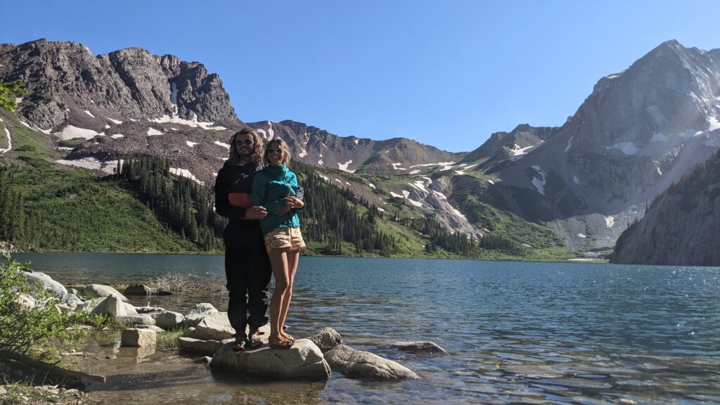
The walk was worth it though, to get to Snowmass Lake and spend some time there. Although VERY crowded, we managed to snag a spot in the woods on the west side of the lake, almost as far west as you can hike to. It was private and we had our own “beach” to spend time on. The downside…the mosquitoes were BRUTAL. We wore raincoats to keep them from biting through our shirts, head nets, and mitch even wore rainpants. Bug spray is an absolute must. Ute had about 10 on her head at one time!
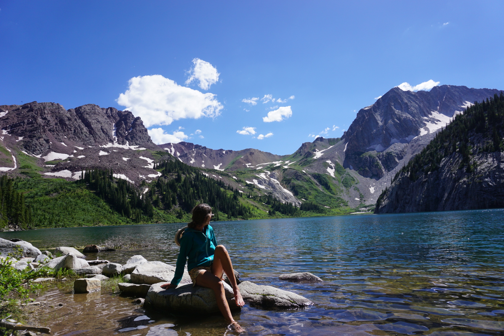
Snowmass Lake was one of the most beautiful alpine lakes we’ve ever stayed at.
Day 4
West Snowmass Trail – Geneva Lake Trail – The Road Walk
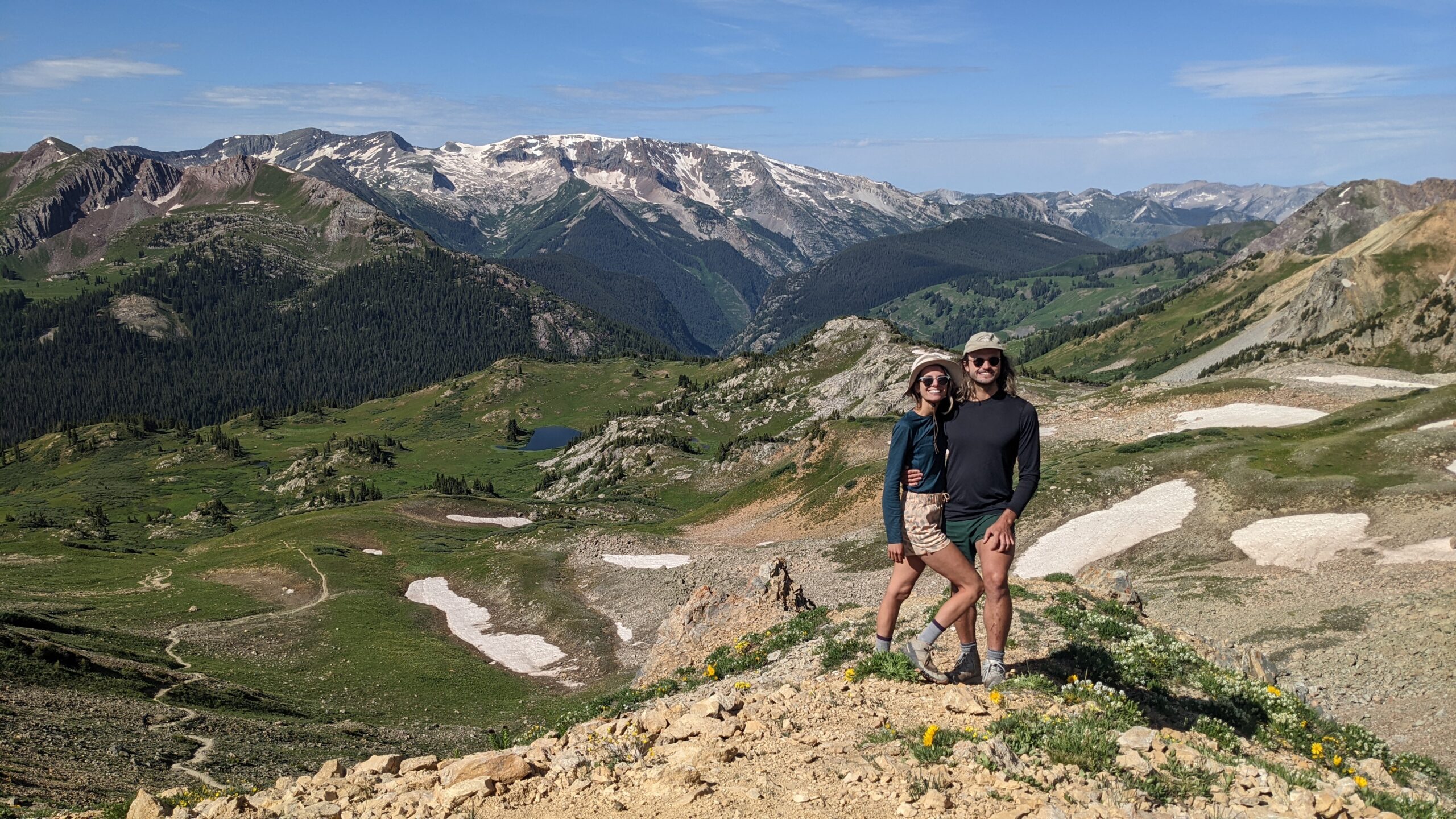
Day 4 started with a quick elevation gain up to the highest point on our journey, Trail Rider Pass. Views from either direction! Mitch & I sat back-to-back debating which one of us had the better view.
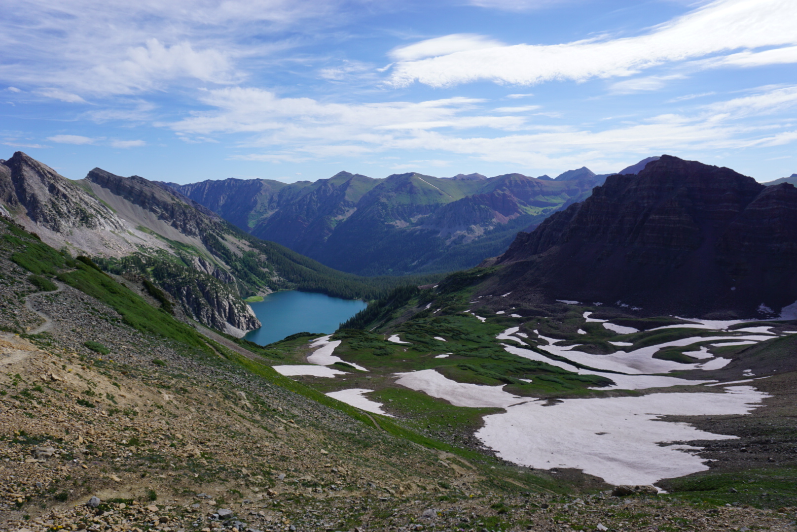
The entire way up, Snowmass Lake was shining blue behind us. We had a long day, although we decided to take the easy way out and NOT go through North Lost Trail again. We stopped for a quick lunch at Geneva Lake (would make another beautiful camp spot if we had an extra night).
From Geneva Lake, the road walk begins – but it’s actually a pretty nice roadwalk. We were on the road on Sunday, so we did get dusted by quite a few OHV’s, jeeps, dirt bikes (one rider was the WORST). If you do this route, time it so you walk the road during the week and I’m sure it’s much better. The views from the road were pretty awesome!**
We ended our hike with 4 miles of pouring rain as we jogged to the van. We were okay with that, as we didn’t get one drop in our other 40 miles.
**The Meadow Mountain Traverse is a fabled alternative to the Road Walk. We found these coordinates online, however, due to using the North Lost Trailhead as our start/end point, it didn’t make sense to attempt. (meadow cut through eastside 39.09571, -107.08171; switchback section 39.08811, -107.09131; continuation east to west 39.08711, -107.09564; west side of meadow mountain traverse 39.08997, -107.10333)
Would we do the CCC again? Absolutely! It is a perfect way to experience the Maroon Bell- Snowmass Wilderness without the crowds. The views were fantastic, the solitude was rejuvenating, the hike was challenging & it’s dog friendly!